One system for monitoring the Mediterranean - through shared IMAP indicators, harmonised monitoring turns national data into informed national and regional action
Adopted under the Barcelona Convention in 2016 and revised by COP24 (Cairo, December 2025), it is based on thematic common indicators to achieve Good Environmental Status (GES) by implementing targets to support integrated management of the marine and coastal environment.
Owing to successive EU-funded EcAp-MED projects led by UNEP/MAP, the IMAP Info System has further strengthened national capacities to implement IMAP on the ground. Reporting of national monitoring data enabled the preparation of the Mediterranean Quality Status Report (2017, 2023).
PAP/RAC leads work on two Ecological Objectives (EO7 and EO8) and related Common Indicators. It provides operational methodologies (Guidance Factsheets) and assists Mediterranean countries in reporting and preparing assessments.
Assessing how human activities change the physical characteristics of the sea and marine habitats
Enables comparable regional reporting and enhances national monitoring programmes.
Tracking trends in coastline artificialisation using standardised approaches
Supports national guidance, shared thresholds and consistent interpretation across countries.
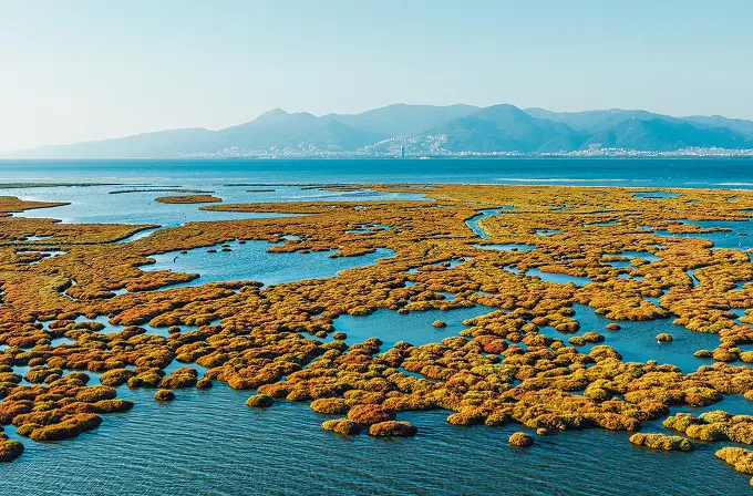
Monitoring land cover changes and pressures on coastal ecosystems.
Guides integrated land–sea assessments and coastal planning.
After the 2025 update of the UNEP/MAP EcAp policy, climate change indicators were identified as a key priority. PAP/RAC is leading the development of new indicators to better track climate-change-related changes in the Mediterranean.
Under EO7 (Hydrography), two indicators will focus on changes in marine conditions — such as circulation patterns, wave height, temperature, pH, salinity — and on sea-level rise.
Under EO8 (Coastal ecosystems and landscapes), three indicators will address the restoration of degraded coastal wetlands, the extent and frequency of coastal flooding, and changes in burnt forest areas.
The hydrographic indicators are planned to be ready by the end of 2027, and the coastal ecosystem and landscape indicators by the end of 2029.

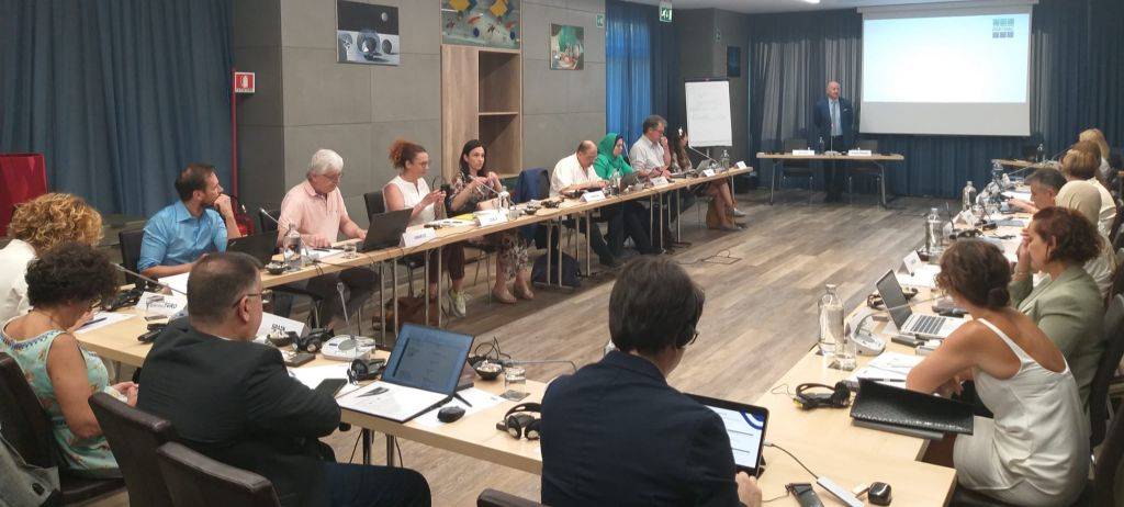
All technical developments for IMAP indicators are agreed with national representatives through the Ecosystem Approach Correspondence Group on Monitoring (CORMON) for Coast and Hydrography.
PAP/RAC helps countries build skills and turn data into maps and thematic analyses for regional reporting, including the Mediterranean Quality Status Report (MED QSR). This work helps align IMAP implementation, link science and policy, and build a shared picture of coastal and hydrographic conditions across the Mediterranean.
Istražite ključna izvješća, smjernice i publikacije znanja koje podupiru održivo upravljanje obalnim i morskim područjima