Rapport sur l’évaluation de la situation initiale de l’indicateur commun 15 d’IMAP: Localisation et étendue des habitats potentiellement affectés par les altérations hydrographiques pour les zones côtières et marines méditerranéennes de l’Algérie. EcAp MED
Baseline sub-regional assessments for the Coast and Hydrography Cluster in beneficiary countries: Report on lessons learned based on national reports for the Common Indicators 15 and 16. EcAp MED

Restoration plan for the creation of a coastal wetland area in Santa Marija Bay – Comino, Malta. SIDA

Report on the baseline situation for IMAP Common Indicator 15: Location and extent of the habitats potentially impacted by hydrographic alterations in Egypt. EcAp MED
Evaluation de la situation initiale de l’indicateur commun 16 d’IMAP: Longueur de côte soumise à des perturbations dues à l’influence des structures artificielles pour les zones côtières et marines méditerranéennes de la Tunisie. EcAp MED
Report on the baseline situation for Common Indicator 15: Location and extent of the habitats potentially impacted by hydrographic alterations in Libya. EcAp MED
Suivi de l’indicateur commun IMAP 16: Longueur du littoral soumis à des perturbations physiques dues à l’influence des structures artificielles pour l’Algérie. EcAp MED
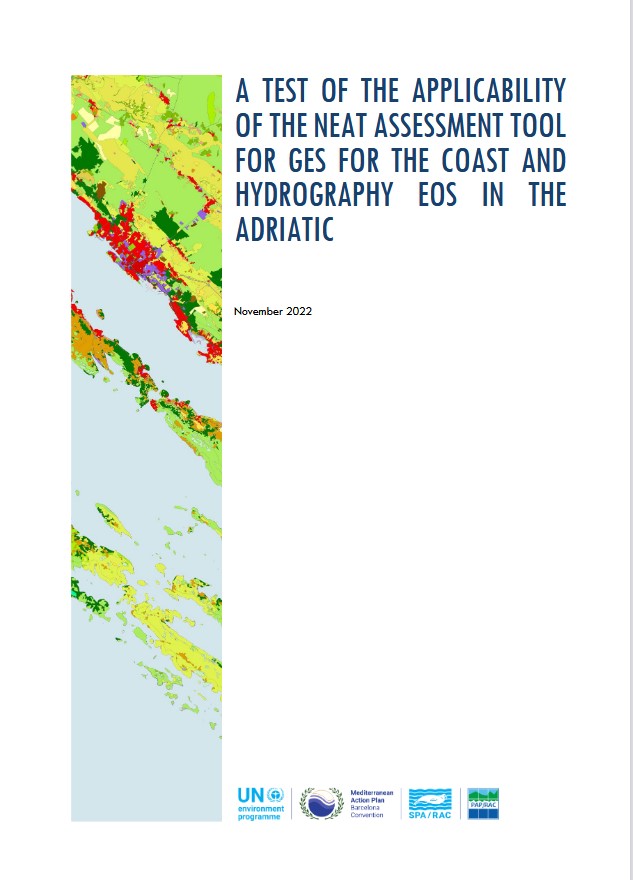
A test of the applicability of the NEAT assessment tool for GES for the coast and hydrography EOS in the Adriatic
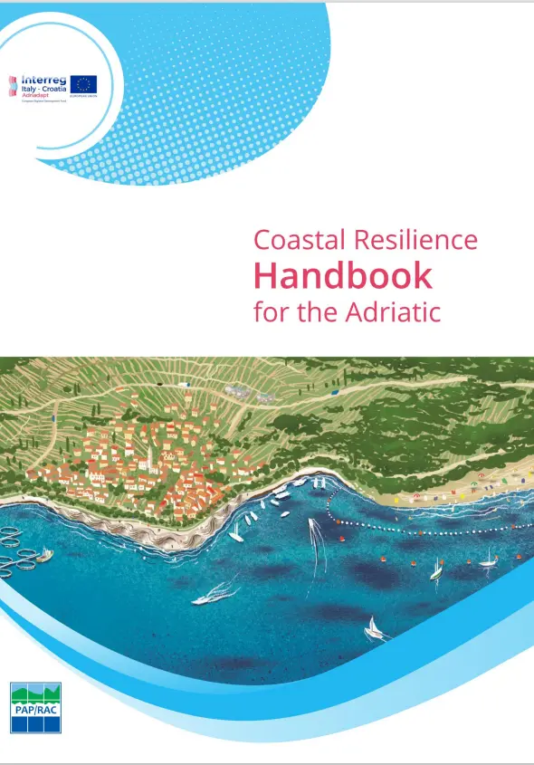
Coastal resilience handbook for the Adriatic. Adriadapt
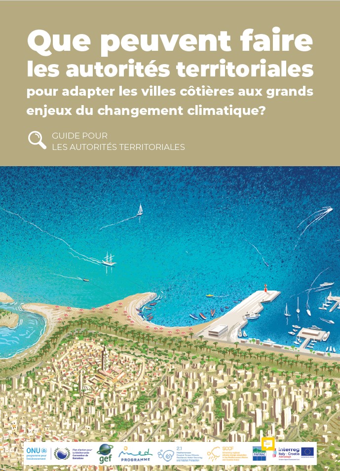
Que peuvent faire les autorités territoriales pour adapter les villes côtières aux grands enjeux du changement climatique? Guide pour les autorités territoriales. GEFMedProgramme