Key objectives
The objectives of the PlanCoast project are: to start developing and implementing the tools and procedures for the brand new discipline of Marine Spatial Planning in each participating country; to enhance the implementation of the national ICZM Strategies by demonstrating the benefits and role of Spatial Planning (MSP) in ICZM within a number of selected pilot projects; to support the increased use of modern Geographical Information Systems (GIS) within ICZM for data collection, editing and exchange, as well as create GIS databases of internationally comparable data as a basis for trans-national planning; to form, through PlanCoast pilot projects, the basis for recommendations on local and national level on how to implement, adapt and further develop the current ICZM strategies within each partner country in the Adriatic, Baltic and Black Sea regions; and to support, through PlanCoast conferences, working groups, trainings and trans-national studies, an exchange of experience among organisations and authorities responsible for spatial planning in the partner countries.
Main results
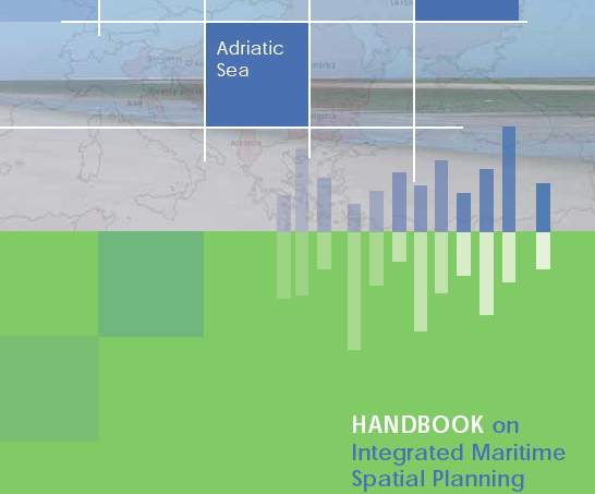
PlanCoast introduced the new instrument Maritime Spatial Planning (MSP), it linked ICZM and MSP with the processes of statutory spatial planning in a selected number of pilot projects, spread the use of modern geographical information systems (GIS) for effective transnational planning, contributed to the creation and implementation of EU policy on coastal zones and maritime areas, such as the Green Book and Blue Book, and led to the creation of numerous national laws and strategies. For instance, it enabled the development of the first pilot maritime plan in Poland and the Baltic experience was transferred to the Mediterranean Sea Region. Most importantly, PlanCoast led to the first MSP Handbook describing the Maritime Spatial Planning cycle.
Role of PAP/RAC
PAP/RAC was responsible for the coordination of activities in the Adriatic region and for contributions to the overall project deliverables, namely:
- Preparation of National Reports for other Adriatic countries (i.e. Albania, Bosnia and Herzegovina, Italy, Montenegro and Slovenia)
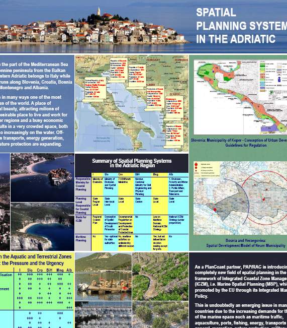
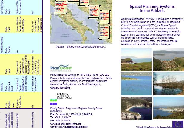
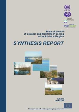
- Preparation of a Synthesis report for the Adriatic region entitled: State of the Art of Coastal and Maritime Planning in the Adriatic Region: Synthesis Report
- Preparation of the Report on marine spatial planning – theoretical overview
- Preparation of the Report on best practice cases in marine spatial planning
- Organisation of the Conference on marine spatial planning – the third PlanCoast meeting
Partnership
Lead partner:
- Ministry of Transport, Building and Regional Development Mecklenburg–Vorpommern, Germany
Partners:
- Maritime Office, Gdynia, and Regional Spatial Planning Office, Pomorskie Voivodship, Poland
- ECAT Tirana, Albania
- Neretva Cantonal Ministry of Physical Planning, Bosnia and Herzegovina
- Priority Actions Programme⁄Regional Activity Centre (PAP⁄RAC) Split, Croatia
- Federal Ministry of Transport, Building and Urban Development, Germany
- Emilia–Romagna Region, DG Environment, Italy
- Ancona Municipality, Italy
- Public Enterprise for Coastal Zone Management, Montenegro
- Regional Development Centre, Koper, Slovenia
- District Administration Centre, Varna, Bulgaria
- Black Sea NGO Network, Bulgaria
- National Institute for Marine Research and Development, “Grigore Antipa”, Romania
- National Institute for Research and Development “Urbanproiect”, Romania
- Ukraine Scientific Center of Ecology of Sea (UkrSCES), Ukraine